

Rio Grande Trail, Glenwood Springs: Complete Trail Guide
Built on a former railroad grade, the Rio Grande Trail runs from Glenwood Springs to Aspen along the Roaring Fork River, offering one of the longest paved multi-use paths in Colorado with a gentle, consistent grade the entire way. Here’s what to know before hiking or riding it.
Trail Basics
The Rio Grande Trail stretches roughly 42 miles between Glenwood Springs and Aspen, with about 33 to 42 miles paved depending on the exact section (the stretch between Aspen and Woody Creek is soft surface rather than pavement). Completed in 2008 as a rails-to-trails project, the route follows the old railroad bed, gaining about 2,100 feet in elevation over its full length a gradual enough incline that it stays comfortable for casual riders, not just serious cyclists.
Where the Trail Starts
In Glenwood Springs, the Rio Grande Trail effectively continues from the Glenwood Springs River Trail, transitioning around 23rd Street. The river trail itself begins near Two Rivers Park, close to the confluence of the Roaring Fork and Colorado Rivers, giving riders or walkers a scenic starting point before heading upstream along the Roaring Fork toward Carbondale and eventually Aspen.
What You’ll See Along the Way
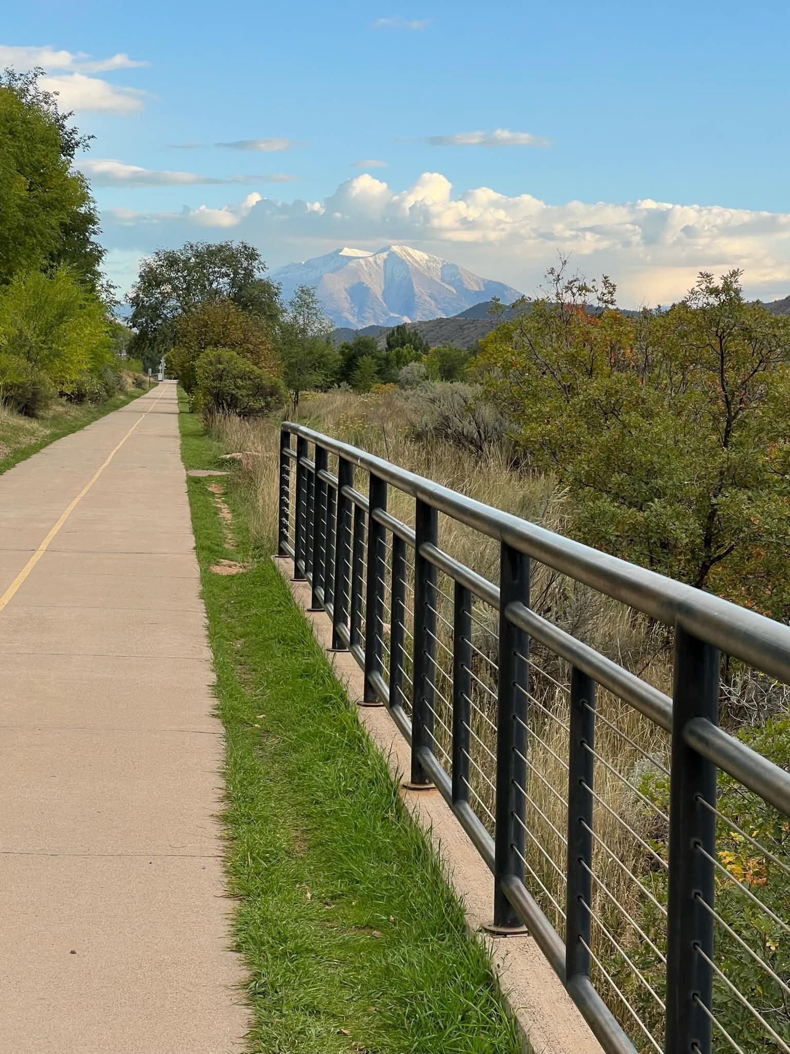
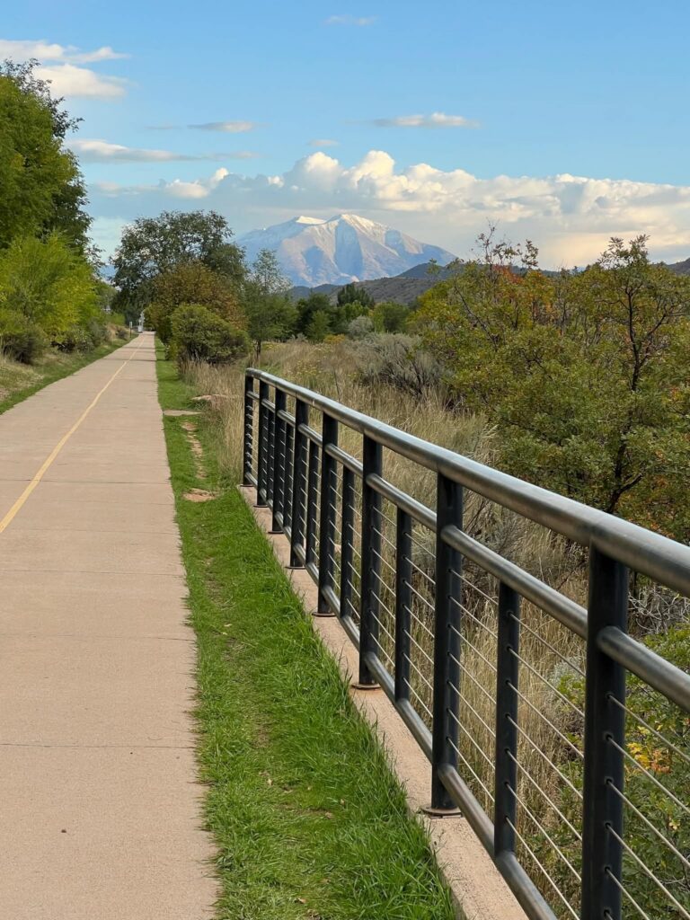
The trail follows the Roaring Fork River closely for much of its length, passing through open valley terrain with mountain views on both sides snow-capped peaks are visible in the distance on clear days, even from lower sections of the trail near Glenwood Springs. In fall, cottonwoods and other streamside trees turn gold along the riverbanks, making September and early October a popular window for a scenic ride, alongside the wildflowers that line the trail in summer.
Difficulty and Who It’s For
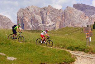
Because the trail follows an old rail grade, the climbing is gradual rather than steep, making it accessible to riders of nearly any skill level, including families and e-bike riders. Most people ride sections of the trail rather than attempting the full 42 miles in one trip a popular shorter option is the stretch between Glenwood Springs and Carbondale, which covers a meaningful distance without requiring a full-day commitment.
Access Points
The trail can be picked up at multiple points along its length, including:
- Two Rivers Park, Glenwood Springs: The main starting point on the Glenwood Springs end.
- Carbondale: A common midpoint stop and a shorter out-and-back option from Glenwood Springs.
- Basalt and El Jebel: Additional access points farther up-valley.
- Aspen: The trail’s endpoint, where it connects to Aspen’s local bike path network.
Combining It With Other Trails
The Rio Grande Trail connects directly to the Glenwood Canyon Recreation Path near Glenwood Springs, a separate 16-mile paved trail that runs the opposite direction through Glenwood Canyon toward Dotsero, following the Colorado River rather than the Roaring Fork. Together, the two trails offer more than 55 combined miles of paved, mostly flat riding in the immediate Glenwood Springs area.
Tips for Riding or Walking the Trail
- Pick a section rather than the whole distance unless you’re specifically training for a long ride most visitors do a portion between two towns rather than the full Glenwood-to-Aspen stretch.
- Consider a one-way shuttle. Several local bike shops in the Roaring Fork Valley offer shuttle services, letting riders do a one-way trip without doubling back.
- Watch for shared-use etiquette. The trail sees walkers, runners, cyclists, and e-bikes, so calling out when passing is common courtesy on busier sections closer to town.
- Bring water and sun protection. Long stretches of the trail run through open valley with limited shade, especially compared to the canyon-walled Glenwood Canyon path.
The Rio Grande Trail’s gentle grade and scenic river setting make it one of the more approachable long-distance paved trails in Colorado, whether you’re looking for a short evening ride near Glenwood Springs or a multi-day point-to-point trip toward Aspen. Picking a section that matches your time and fitness level, rather than feeling obligated to cover the full 42 miles, is the easiest way to enjoy it.